Noch eine Kurve, nichts zu sehen. Und dann noch eine. Immer noch nichts. Der Blick auf eines der schönsten Gebirge in Europa lässt auf sich warten. Wir fahren auf der A8 in Nordspanien in Richtung Westen. Wir haben Bilbao und Santander hinter uns gelassen, sind umringt von bewaldeten Bergen, hügeligen Wiesenflächen und einer ordentlichen Portion Industrie. Dann taucht am Horizont ein Gebirge auf. Hohe, karge Bergspitzen, mächtig anmutend, Respekt einflößend. Das sind sie: Die Picos de Europa.
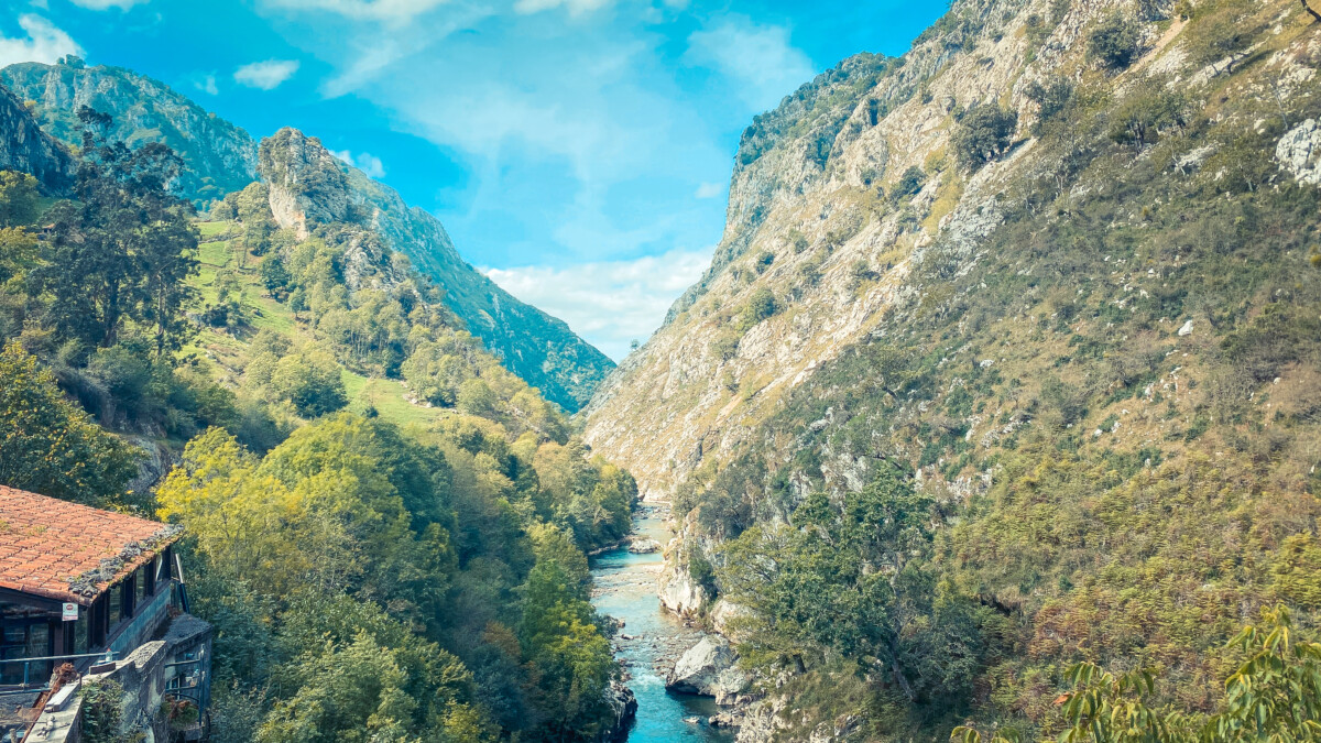
Kurz hinter San Vicente de la Barbera verlassen wir die Autobahn und biegen auf die N-621 ab. Es wird kurviger und noch bergiger. Kurz darauf verlassen wir auch diese Regionalstraße und fahren auf der kleinen Landstraße AS-114 in Richtung Panes. Ab jetzt ist der Rio Cares unser ständiger Begleiter. Dieser 54 Kilometer lange Fluss entspringt bei Posada de Valdeon auf 1.600 Metern Höhe und überbrückt bis zur Mündung in den Rio Deva einen Höhenunterschied von über 1.570 Meter. Die nächsten Tage werden wir ausschließlich in der Nähe des Rio Cares verbringen. Denn auch bei der von uns geplanten Wanderung, der Routa del Cares, ist dieser Fluss und der von ihm geformte Canyon der Hauptdarsteller.
Am 17. September erreichen wir gegen 14 Uhr Las Arenas, unsere Ausgangsbasis für die nächsten Tage. Wir checken beim hiesigen Campingplatz etwas außerhalb des Ortes ein, da wir zunächst geplant haben, unser fahrbares Zuhause während der Wanderung am nächsten Tag hier zu parken.
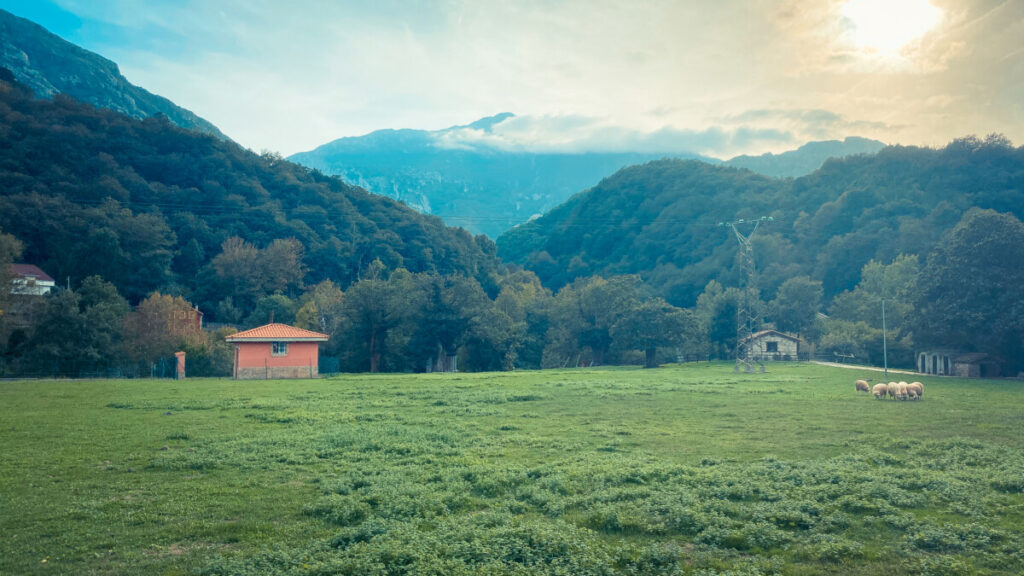
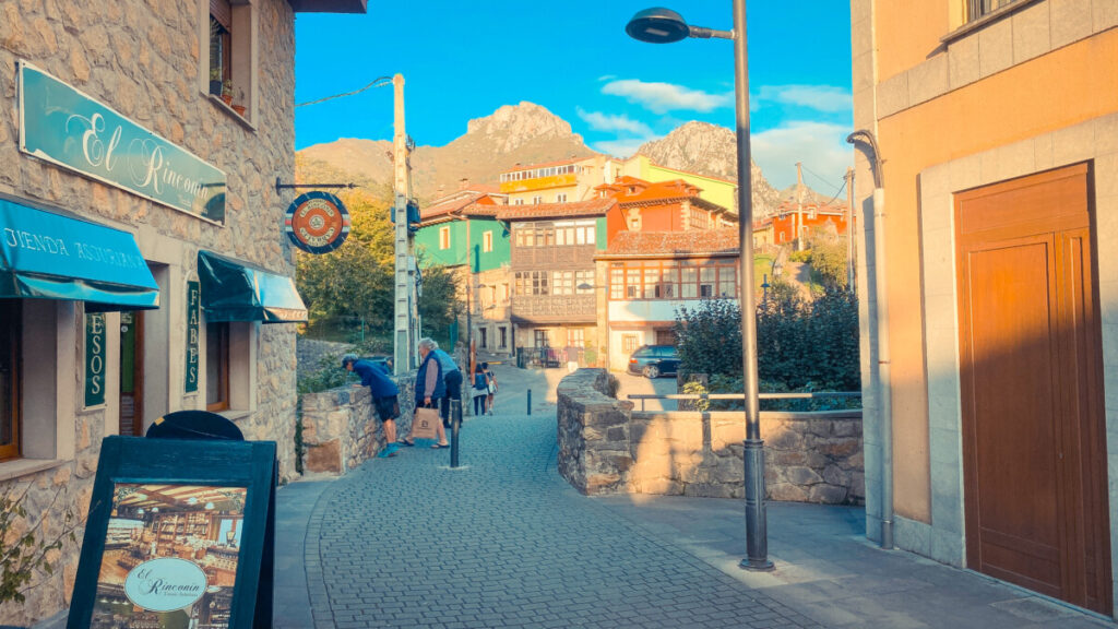
Den Rest des Tages verbringen wir mit der Vorbereitung der Wanderung, Packen die Rucksäcke, backen ein Sauerteigbrot als Proviant und orientieren uns in Las Arenas. Dieses Dorf mit ca. 880 Einwohnern ist für viele Touristen das Tor zu den Picos. Daher prägen Restaurants, Hotels und Bars das Stadtbild. Bei eben dieser Orientierung entdecken wir einen netten Parkplatz auf einer Wiese am Ortsausgang, von wo zufälligerweise auch unser Bus zum Ausgangspunkt der Wanderung am kommenden Morgen abfährt. Also entschließen wir uns, am nächsten Morgen den Campingplatz zu verlassen und „umzuziehen“.
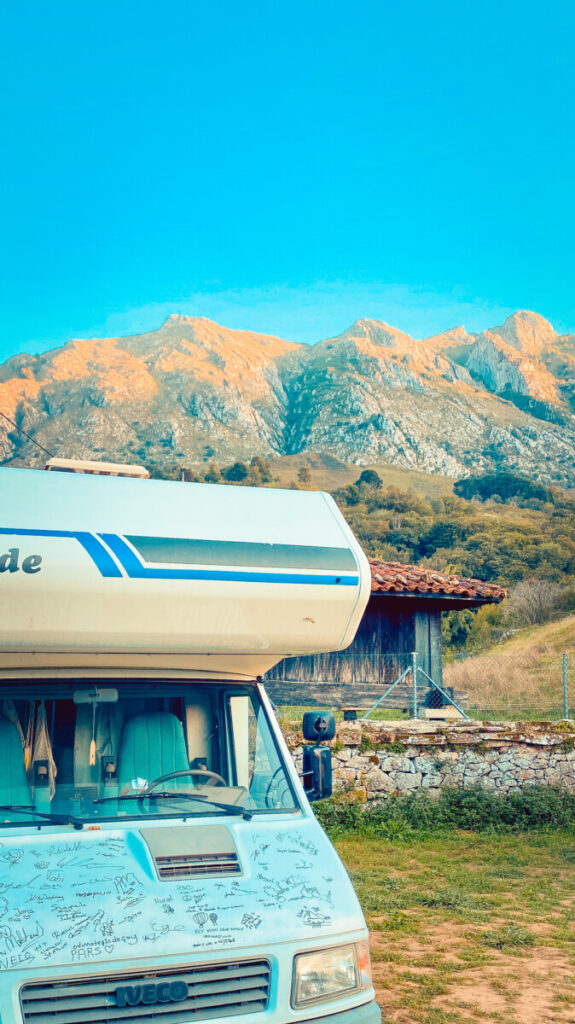
Der Wecker klingelt um 06:30 Uhr. Draußen ist es noch stockdunkel. Wir quälen uns aus den Betten, frühstücken und machen alles fahrfertig. Noch etwas Wasser auffüllen, dann fahren wir die kurze Strecke zum Parkplatz auf der anderen Seite von Las Arenas. Von hier aus geht es für uns mit dem Bus weiter, der von der Nationalpark-Verwaltung eigens für Touristen eingerichtet wurde.
Der Bus verkehrt während der Sommersaison, also in der Zeit zwischen dem 19. Juni und dem 31. Oktober, zwischen Las Arenas und dem sehr hoch gelegenen Bergdorf Sotres und fährt stündlich. Ein wichtiger Grund für die Einrichtung dieser Busverbindung ist sicherlich auch, um das Verkehrsaufkommen auf den schmalen und teils sehr steilen Bergstraßen so gering wie möglich zu halten. Unterwegs stoppt der große Reisebus unter anderem auch in Poncebos, dem Ausgangspunkt einiger Wanderungen in diesem Teil der Picos.
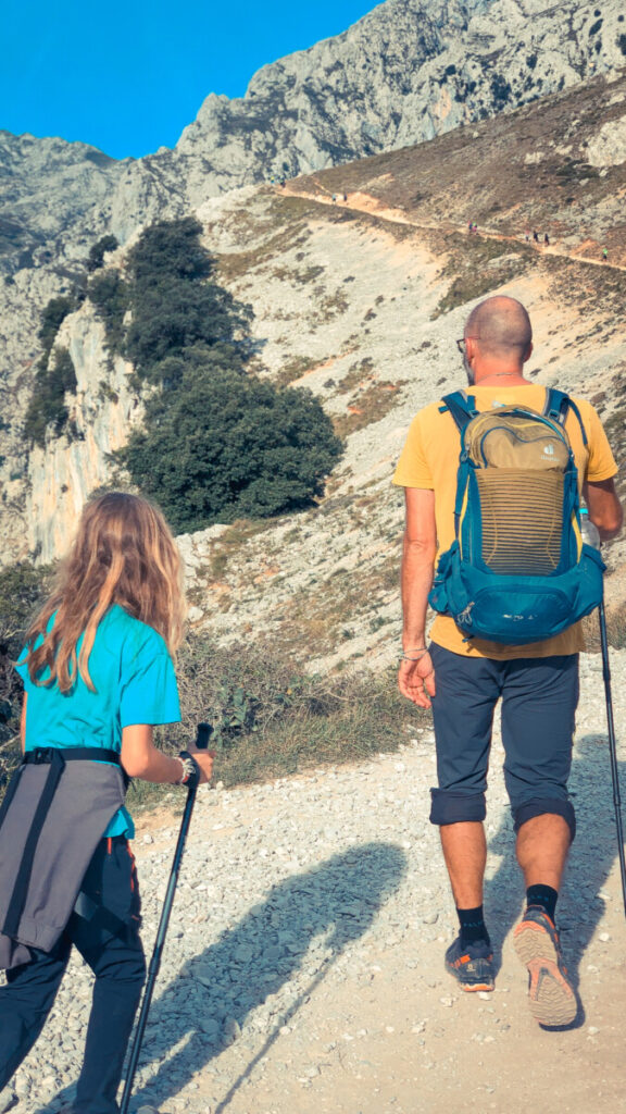
Um 09:30 Uhr verlassen wir den immer noch im Schatten liegenden Busparkplatz von Poncebos und machen uns auf den Weg zur Ruta de Cares. Sobald wir die asphaltierte Straße verlassen und auf einen Schotterweg abbiegen, geht es steil bergauf. Mit mehreren Windungen gilt es zunächst ca. 200 Höhenmeter auf einer steilen Passage zu überwinden, bevor der Weg dann abflacht und seicht bergauf verläuft. Schon hier ist der Ausblick auf den immer tiefer links unter uns verlaufenden Rio Cares spektakulär. Das immer noch weite Tal erlaubt einen guten Blick auf die umliegenden Felswände und die Schreie der am Himmel kreisenden Adler verleihen der Szenerie etwas Majestätisches. Mittlerweile steht die Sonne höher am Himmel und wir haben den schattigen Part hinter uns gelassen…
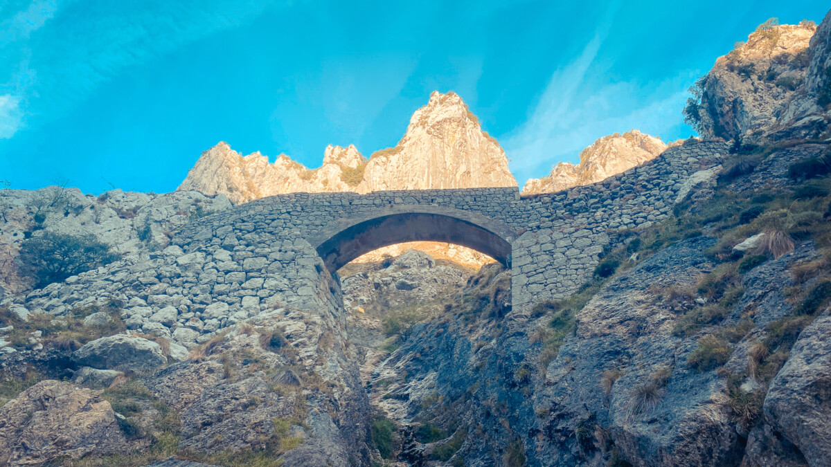
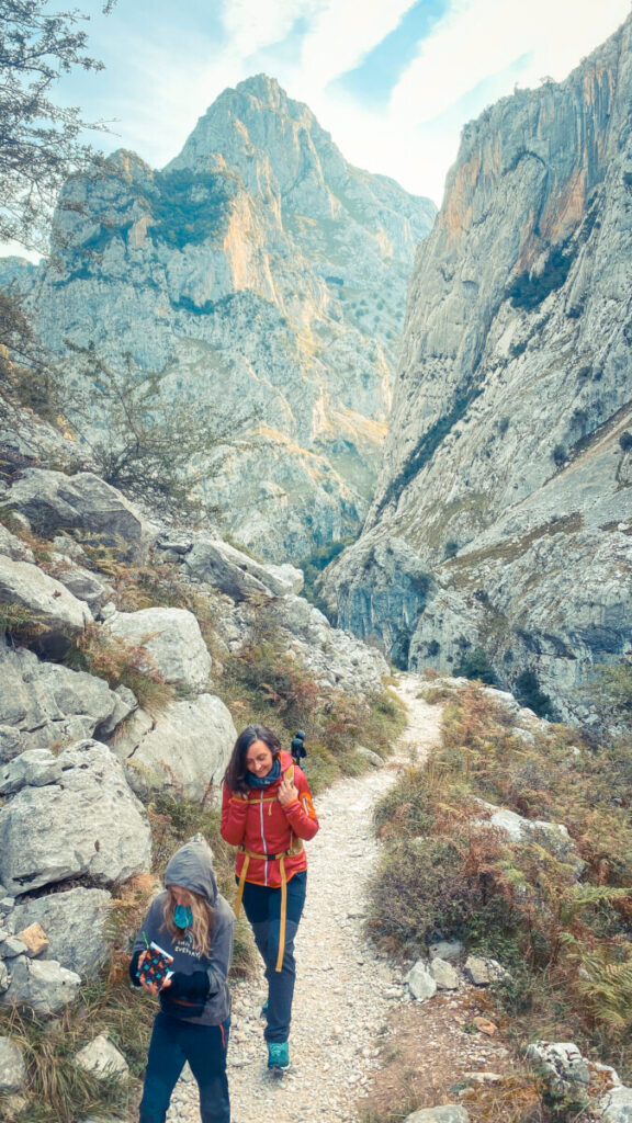

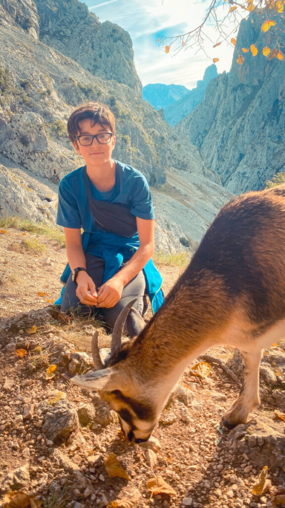
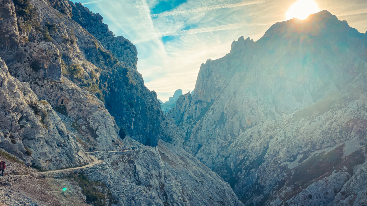
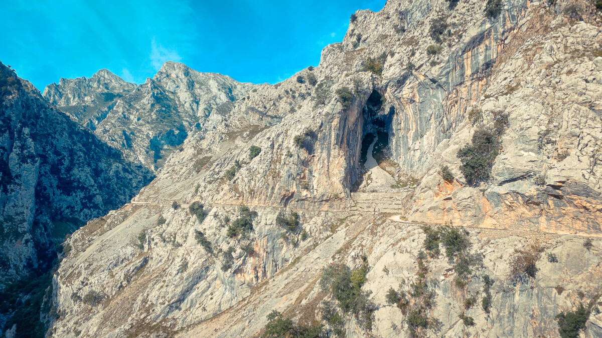
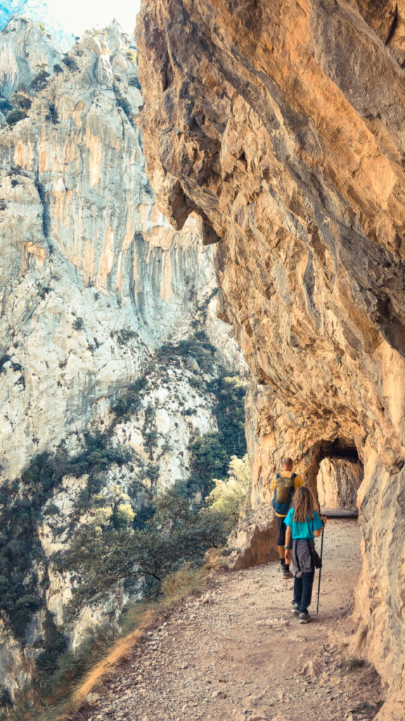
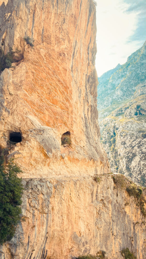
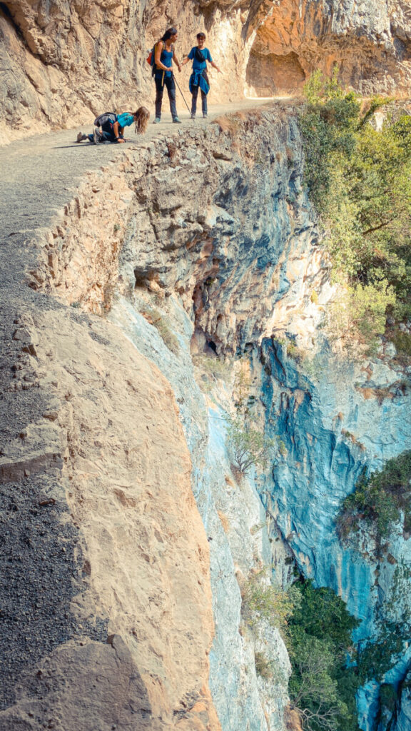
Hinter einer der nächsten Kuppen erwartet uns ein Ausblick auf den Teil der Ruta de Cares, welche diese Wanderung so berühmt und beliebt gemacht hat: Steil abfallende Felswände, die nun immer enger zusammenwachsen und das ehemals breite Tal zu einem engen Canyon werden lassen. Und weitere 30 Minuten später wandern wir über den aus dem Fels ausgeschlagenen Pfad. Über, unter und rechts von uns der gehauene Fels. Links geht es über 100 Meter steil runter bis zum Rio Cares. Geländer Fehlanzeige.
Da es mittlerweile schon Mittagszeit ist, kommen uns immer mehr Menschen entgegen, die am Morgen aus Cain, unserem heutigen Tagesziel gestartet sind, entgegen. Dabei kommt es zu interessanten Situationen, da sich fast alle Wanderer an der Innenseite der Felswand halten. Niemand möchte nach Außen zum Abgrund. Und doch muss immer jemand nachgeben…
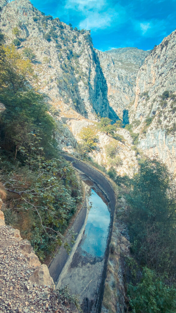
Spannend ist, dass diese tiefe Schlucht nicht nur das Werk der natürlichen Kraft des Wassers des Flusses Cares ist, sondern auch das Ergebnis einer Ingenieursarbeit aus den frühen Jahren des 20. Jahrhunderts. Die gesamte Wanderung verläuft nämlich immer neben, ober oder unterhalb eines ebenfalls in den Fels gehauenen und zum Teil betonierten Kanals, der gebaut wurde, um das Wasser aus den Bergen zum Wasserkraftwerk Poncebos zu befördern. Es muss schon ein unglaublicher Kraftakt gewesen sein, diese Wasserstraße zu errichten.
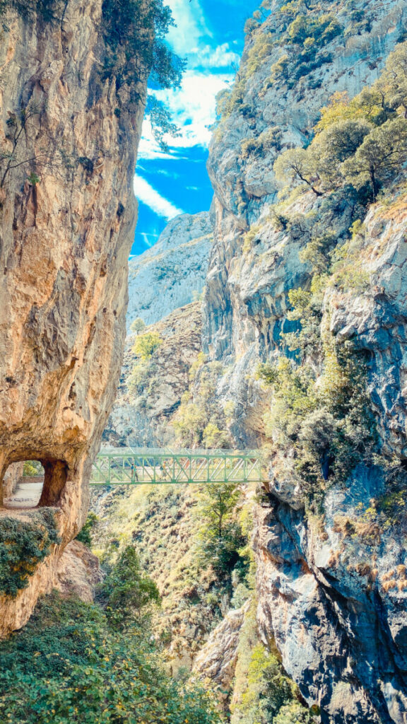
Mehrmals ist nun der Fluss auf Metallbrücken zu überqueren und die Sonne kommt nur noch selten bis in den schmal und tief eingeschnittenen Canyon. Nun sind auch enge Tunnel und Höhlen zu durchqueren, bevor wir das kleine Bergdorf Cain erreichen. Direkt vor dem Ortseingang setzen wir uns ans Ufer des Cares, kühlen unsere müden Füße im eiskalten Wasser und verzehren unser Vesper.
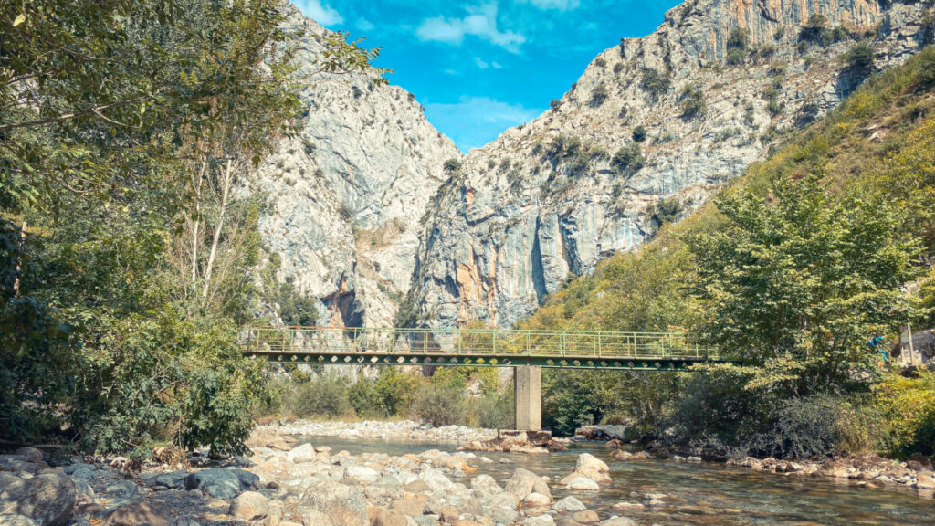
Im Ort selbst ist alles auf die zahlreichen Wanderer der Ruta del Cares ausgerichtet: Restaurants, Cafés, Hotels und Souvenirläden wohin man blickt. Und doch herrscht eine sehr entspannte Atmosphäre, als wir die Dorfstraße entlang schlendern, immer das Rauschen des Cares im Ohr.
Wir gönnen uns noch etwas Süßes und einen Cappucino, dann machen wir uns auf den ebenfalls 11 Kilometer langen Rückweg, der aufgrund des komplett veränderten Stands der Sonne komplett andere Ausblicke und Eindrücke beschert. Es ist bereits kurz nach 18 Uhr, als wir nach Poncebos zurückkommen. Unser Bus ist gerade weg, daher vertreiben wir uns die Zeit bei einem kühlen Getränk und lassen die zurückliegenden Eindrücke wirken.
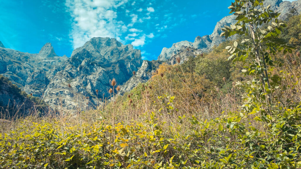
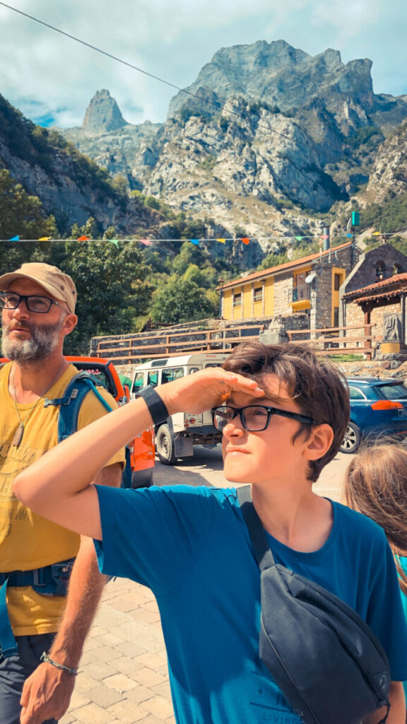

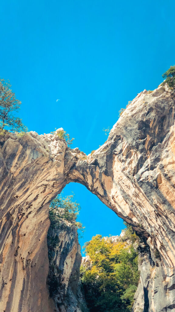
Es war ganz schön was los heute, es ist eine beliebte Wanderung, selbst jetzt noch in der zweiten Septemberhälfte. Wer die Einsamkeit sucht, ist auf der Routa del Cares falsch. Allerdings ist absolut verständlich, warum sich so viele Menschen für diese Tour entscheiden. Die Felsformationen des Canyons, die engen Tunnel und Höhlen, der wild rauschende Fluss unterhalb und nicht zuletzt der abwechslungsreiche und schwindelerregende Weg machen diese Wanderung zu einem einzigartigen Erlebnis.
English Version: On the Edge – Hiking in Picos de Europa
Another curve, nothing to see. And then another. Still nothing. The view of one of the most beautiful mountains in Europe is a long time coming. We are driving west on the A8 in northern Spain. We’ve left Bilbao and Santander behind us, surrounded by forested mountains, rolling meadows and a fair amount of industry. Then a mountain range appears on the horizon in the middle. High, barren mountain peaks, mighty-looking, commanding respect. That’s them: The Picos de Europa.
Shortly after San Vicente de la Barbera we leave the highway and turn onto the N-621. It gets curvier and even more mountainous. Shortly after, we also leave this regional road and drive on the small country road AS-114 in the direction of Panes. From now on, the Rio Cares is our constant companion. This 54 kilometer long river rises at Posada de Valdeon at an altitude of 1,600 meters and bridges a difference in altitude of over 1,570 meters until it flows into the Rio Deva. The next days we will spend exclusively near the Rio Cares. This is because this river and the canyon formed by it are also the main protagonists of the hike we have planned, the Routa del Cares.
On September 17 we arrive at Las Arenas, our starting point for the next days, at about 2 pm. We check in at the local campground just outside of town, as we initially planned to park our mobile home here during the next day’s hike.
We spend the rest of the day preparing for the hike, packing our backpacks, baking a sourdough bread for provisions, and getting our bearings in Las Arenas. This village with about 880 inhabitants is the gateway to the Picos for many tourists. Therefore, restaurants, hotels and bars dominate the townscape. During this orientation we discover a nice parking lot on a meadow at the end of the village, from where coincidentally also our bus leaves for the starting point of the hike the next morning. So we decide to leave the campsite the next morning and „move“.
The alarm clock rings at 06:30. Outside it is still pitch dark. We struggle out of bed, have breakfast and get everything ready to go. Fill up some water, then we drive the short distance to the parking lot on the other side of Las Arenas. From here we continue by bus, which has been set up by the national park administration especially for tourists.
The bus runs during the summer season, i.e. between June 19 and October 31, between Las Arenas and the very high mountain village of Sotres and leaves every hour. An important reason for the establishment of this bus connection is certainly also to keep the traffic volume on the narrow and partly very steep mountain roads as low as possible. On the way, the big coach stops among other places in Poncebos, the starting point of some hikes in this part of the Picos.
At 09:30 we leave the bus parking lot of Poncebos, which is still in the shade, and make our way to the Ruta de Cares. As soon as we leave the asphalt road and turn onto a gravel path, we start climbing steeply. With several twists and turns, we first have to overcome about 200 meters of altitude on a steep passage, before the path then flattens out and runs gently uphill. Even here, the view of the Rio Cares, which runs deeper and deeper to the left below us, is spectacular. The still wide valley allows a good view of the surrounding rock faces and the cries of the eagles circling in the sky give the scenery something majestic. Meanwhile the sun is higher in the sky and we have left the shady part behind us…
Behind one of the next hilltops, a view of the part of the Ruta de Cares that made this hike so famous and popular awaits us: steep rock faces that now grow closer and closer together, turning the formerly wide valley into a narrow canyon. And another 30 minutes later we hike along the path cut out of the rock. Above, below and to the right of us the hewn rock. To the left it goes steeply down more than 100 meters to the Rio Cares. There is no railing.
Since it is meanwhile already noon time, more and more humans, who started in the morning from Cain, our today’s daily goal, come against us. Thereby it comes to interesting situations, because almost all hikers keep to the inside of the rock face. Nobody wants to go outside to the abyss. And yet, someone always has to give way….
What is exciting is that this deep gorge is not only the work of the natural power of the water of the river Cares, but also the result of an engineering work from the early years of the 20th century. In fact, the entire hike always runs next to, above or below a canal, also carved into the rock and partially concreted, that was built to carry the water from the mountains to the Poncebos hydroelectric plant. It must have been an incredible feat to build this waterway.
Several times now the river has to be crossed on metal bridges and the sun rarely reaches the narrow and deeply cut canyon. Now there are also narrow tunnels and caves to cross before we reach the small mountain village of Cain. Just before entering the village we sit down on the bank of the Cares, cool our tired feet in the ice-cold water and consume our snack.
In the village itself, everything is geared to the numerous hikers of the Ruta del Cares: Restaurants, cafes, hotels and souvenir stores everywhere you look. And yet there is a very relaxed atmosphere as we stroll along the village street, always with the sound of the Cares in our ears.
We treat ourselves to something sweet and a cappucino, then we set off on the 11-kilometer-long way back, which, due to the completely changed position of the sun, provides completely different views and impressions. It is already shortly after 6 p.m. when we return to Poncebos. Our bus has just left, so we pass the time with a cool drink and let the past impressions work.
It was quite busy today, it is a popular hike, even now in the second half of September. If you are looking for solitude, you are wrong on the Routa del Cares. However, it is absolutely understandable why so many people choose this tour. The rock formations of the canyon, the wild rushing river below and last but not least the varied and dizzying path make the hike a unique experience.

